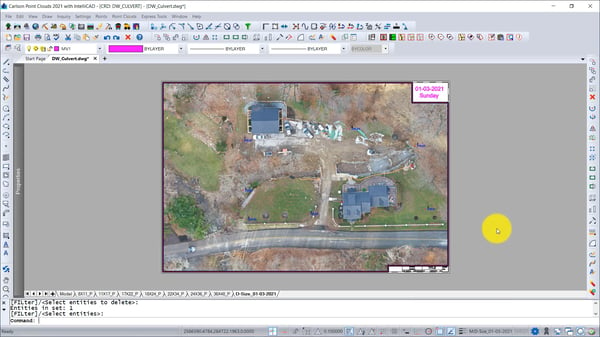
Got GeoTIFF files? Carlson users are bringing drone images from Carlson PhotoCapture into Carlson Point Cloud for greater accuracy in land development projects. In a video from Carlson, you can watch GeoTIFF files be inserted into Carlson Point Cloud, which is based on the IntelliCAD engine, and then used with ground control points for surveying a driveway culvert site.
Carlson Software delivers a wide range of CAD products across the land development and mining industries. Because they designed their CAD software to run with IntelliCAD or Autodesk® AutoCAD® from a single Carlson source code base, their users have a choice: work with built-in IntelliCAD for free or purchase a subscription to AutoCAD. To check out the ITC and Carlson success story, click here.