Articles and Press Releases

Now Available: Carlson 2023

carlson 2023 screenshot

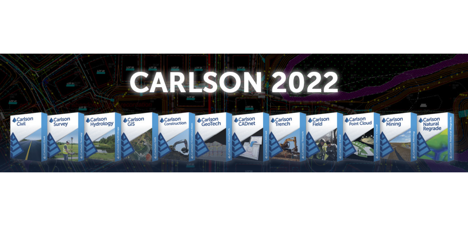
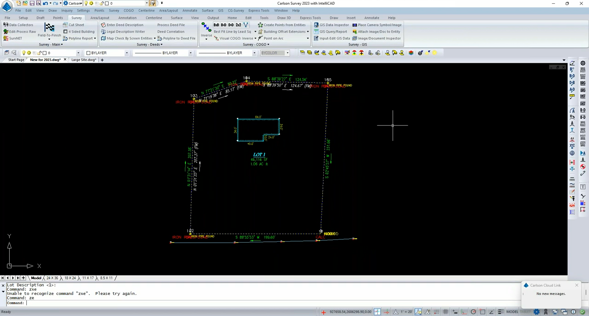
Carlson Software just released its Carlson 2023 product line. A brief roundup of new features and enhancements: Carlson Survey supports multiple centerline files and GNSS base point adjustments, Carlson Civil contains improved 3D design tools, Carlson Point Cloud includes improved color edge identification, and Carlson Hydrology delivers enhancements to HydroNET and GIS features. And there's much more!

To find out more about Carlson Software's latest tools and CAD software for the land surveying, civil engineering, GIS, construction, and mining industries:

IntelliCAD is the default CAD engine that comes built-in to Carlson Software products. To find out how Carlson Software and the ITC work together, see the success story. To find out more about IntelliCAD's .dwg technology, go here.

Topics: IntelliCAD DWG Civil/Survey Members CAD/CAM GIS/GEO

Introducing ActCAD 2023 Map Drafter

actcad-2023-map-drafterActCAD 2023 Map Drafter is a new product that helps designers produce and deliver digital maps. It includes all the 2D drafting and design features you would expect, plus image calibration, local language text features, map view and flow directions, profiles, image markers, map cleanup, ESRI shape export, and much more.

Want to learn more?

ActCAD 2023 Map Drafter is based on the IntelliCAD engine. To learn more about OEM options using the IntelliCAD engine, go here. To learn about how ActCAD benefits from membership in the IntelliCAD Technology Consortium, see the success story.


Topics: IntelliCAD DWG Members CAD/CAM GIS/GEO

DotSoft Products Updated for IntelliCAD 11.0

dotsoft_mapping.pngAll DotSoft CAD add-on products are updated to include support for the new IntelliCAD 11.0 release:

  • ToolPac: CAD Productivity Tools
  • XL2CAD: Excel to CAD Connectivity, eliminating OLE problems
  • WD2CAD: Word to CAD Connectivity, eliminating OLE problems
  • MapWorks: Civil/Survey, Mapping & GIS Tools

Existing DotSoft users should contact DotSoft directly to obtain discounted upgrades to their existing versions.

DotSoft is a member of the IntelliCAD Technology Consortium. For details about the IntelliCAD platform, go here.

Topics: IntelliCAD Civil/Survey Members CAD/CAM GIS/GEO

Just Released: Carlson 2022

Carlson 2022

Carlson Software just released their Carlson 2022 product line with faster performance, increased file compatibility, and too many new features to list.

To find out more about Carlson Software's latest tools and CAD software for the land surveying, civil engineering, GIS, construction, and mining industries:

IntelliCAD comes built-in to Carlson Software products. To find out how Carlson Software and the ITC work together, see the success story. To find out more about IntelliCAD's .dwg technology, go here.

Topics: IntelliCAD Civil/Survey Members GIS/GEO

Just Released: Carlson 2021

Carlson_2021_IntelliCAD_Graphic

Carlson Software has released their Carlson 2021 product line update with IntelliCAD 10, bringing users in the land surveying, civil engineering, and mining industries new features, faster performance, and increased compatibility.

Highlights include photogrammetry in Carlson Survey, the ability to insert and manipulate BIM models in Carlson CADnet, and support of ODBC and ESRI File GeoDatabase databases in Carlson GIS. 

IntelliCAD comes built-in to Carlson Software products. To find out more about Carlson 2021:

Carlson 2021 is available with IntelliCAD 10 which was released by the ITC earlier this summer. To find out how Carlson Software and the ITC work together, see the success story.

carlson2021
 
Topics: IntelliCAD Civil/Survey Members GIS/GEO

Just Released: progeCAD 2020 Professional

progeCAD_box

progeCAD 2020 Professional is available now with enhancements for working with IFC BIM files, tool palettes for blocks and hatches, digital signatures for .dwg files, formulas in tables, additions to 3D printing, and upgrades to working with point cloud files .rcp/.rcs, .pcg, .isd, .xyz, .ply, and .las, .laz files. And much more.

progeCAD 2020 Professional is based on the IntelliCAD 9 engine and is designed for drawing in 2D and 3D: CAD field and concept sketch, electrical schematics, building construction, AEC architectural, civil, GIS, Topography, structural, mechanical and industrial engineering, and MCAD mechanical.

Topics: IntelliCAD BIM Members CAD/CAM GIS/GEO

Service Pack Available for MicroSurvey CAD 2019

microsurvey2019-service-pack3MicroSurvey users can get a new version of MicroSurvey CAD 2019 with Service Pack 1 available now. Service Pack 1 contains enhancements to GIS import capabilities and important fixes throughout the product.

MicroSurvey CAD 2019 Service Pack 1 is based on the IntelliCAD 9.0a engine and contains all of the new features and fixes available with IntelliCD 9.0a.

More details from MicroSurvey >> 

Topics: IntelliCAD Members CAD/CAM GIS/GEO

IGiS-CAD 2018 Receives Open Geospatial Consortium Compliance Certification

IGiS-CAD

IGiS-CAD 2018, based on IntelliCAD 8.4, passed all Open Geospatial Consortium WMS 1.3 client with queryable tests to receive compliance certification. 

Open standards and open platforms — it's what the ITC is all about. So it comes as no surprise that ITC members are pairing their products with additional open standards. IGiS-CAD 2018 compliance certification comes from Open Geospatial Consortium (OGC), which develops and manages open standards for the global geospatial community.

Scanpoint Geomatics Limited develops IGiS-CAD, a part of the IGiS system which brings together GIS, image processing, photogrammetry, and CAD on the same platform. It is designed for the agriculture, defense, forestry, disaster management, land information, mining, power, smart city, urban planning, utilities and location based service industries.

Topics: IntelliCAD CAD/CAM GIS/GEO

DotSoft Products Now Available for IntelliCAD

dotsoft_mapping.png

IntelliCAD users can now use these DotSoft products, with more coming soon:

  • ToolPac : CAD Productivity Tools
  • XL2CAD : Excel to CAD Connectivity, eliminating OLE problems
  • WD2CAD : Word to CAD Connectivity, eliminating OLE problems
  • MapWorks : Civil/Survey, Mapping & GIS Tools

DotSoft is a developer of add-ons for multiple CAD engines and has been working directly with ITC developers to complete their port. DotSoft says this about working with ITC developers:

Of the three engine developers we work with, the ITC is certainly the most responsive and was very quick to address every issue we encountered. We look forward to working with the ITC and its members in the future. 

More details from DotSoft >> 

Topics: IntelliCAD Civil/Survey Members CAD/CAM GIS/GEO

IntelliCAD used by MicroSurvey in Mapping, Accident Reconstruction, Forensics, Civil, and Survey

microsurvey-mscad2016-survey1.png

MicroSurvey Software Inc. — member of the ITC — delivers its many IntelliCAD-based applications to land surveyors, civil engineers, seismic surveyors, mapping professionals, police officers, and accident reconstruction specialists. There are many different CAD development platforms available, but year after year MicroSurvey chooses IntelliCAD because it is the only open source, non-profit, cooperative CAD development platform.

IntelliCAD Co-op is the foundation for our civil, survey and forensic CAD applications. IntelliCAD provides a familiar CAD interface for our users and familiar development APIs for our developers. In addition to the standard APIs, IntelliCAD Co-op provides complete source access at the core level that has enabled new solutions we could not create on any other CAD platform. – Jason Poitras, General Manager MicroSurvey, ITC Secretary

To learn more about how MicroSurvey benefits from ITC membership, go to https://www.intellicad.org/microsurvey-case-study

MicroSurveywww.microsurvey.com
IntelliCAD Technology Consortium: www.intellicad.org

Topics: IntelliCAD Civil/Survey Members CAD/CAM GIS/GEO